Your cart is currently empty!
Lee Ridge
Lee Ridge – 11.8mi / 19km
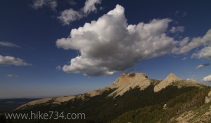
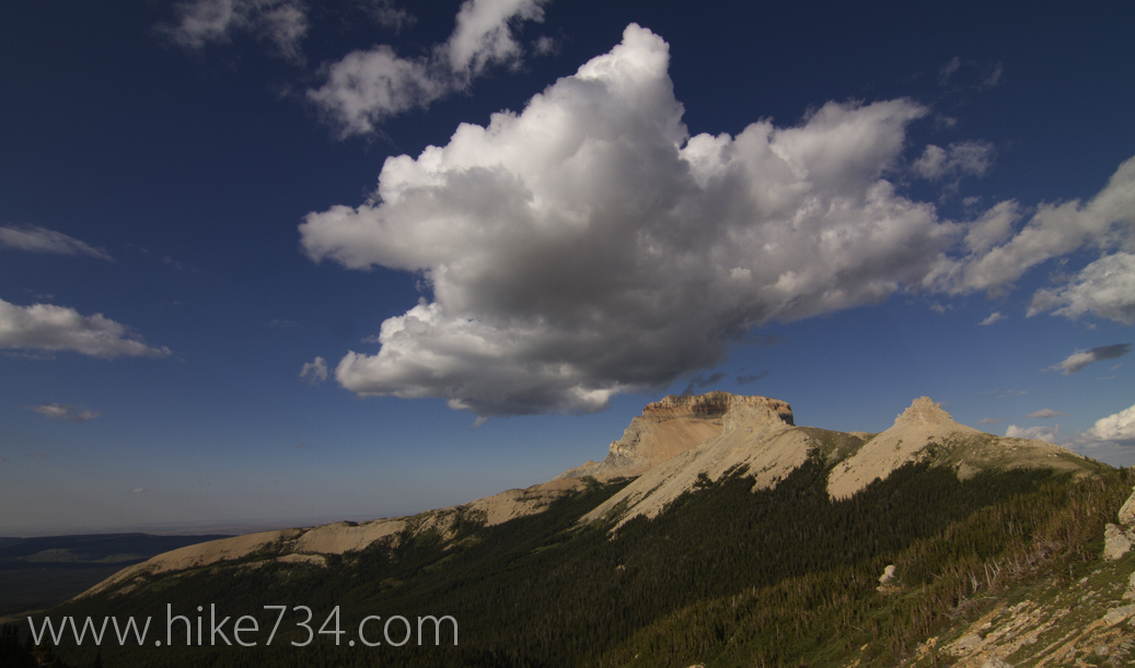
In the remote northeast corner of Glacier, there is a hidden hike that delivers one-of-a-kind views. The trail spends approximately four easy-going miles in the lodgepole forests, with the last bit of that leg of the hike starting to climb until you break out onto the wonderful alpine ridge where the trail disappears.
From here, you follow cairns (man-made piles of rock) up a moderately steep, terraced slope with views into the Belly River and Mokowanis River drainages. Mt. Cleveland, the tallest peak in the Park, is easily seen here, as well as Gable Mountain and Chief Mountain. The views of the last two miles make up for the first four miles of walking in trees. Pikas are common around the limestone boulders at the end of the trail.
Trailhead: Just before you reach the US/Canada border on Highway 17, there will be a sign that says, “Customs 1/2 mile Ahead.” Park at the pullout there and walk back down the road approximately 150 yards where a marked trailhead sits on the south side of the road.
Elevation Gain/Loss: 1,900ft / 570m